
Upper Merion Neighbors and Block Records
The public block trail begins with parcels, not a presumed roster of people. County GIS identifies mapped parcels around a target address. The property card supplies recorded-owner, mailing, assessment, and sale-placement fields for each selected parcel. Recorder documents can supply recorded land parties and legal descriptions over time. Each source answers a different question and carries a different date. None establishes every person at an address, a social relationship between households, or a right to contact anyone.
| Block source | What it can show | Access and boundary |
|---|---|---|
| County GIS buffer and current list | Parcels physically adjacent to, or within a selected distance of, the target parcel | Free map tool; visualization, not a legal boundary survey or people roster. |
| County Property Records card | Recorded owner, situs and mailing distinction, assessment, and sale placement for one parcel | Street or parcel search only; it does not list all household members. |
| Recorder document trail | Recorded parties and legal-description history for a parcel | Account, counter, and copy-request routes; a recorded party is not a current-residence finding. |
| Voter Street List | Defined public voter fields for a requested street | Formal request and certification; no general online neighborhood browsing. |
| Township files and civic context | Project events, named planning areas, or voluntary association leads | Address-specific record request or organization contact; no verified member roster. |
A public parcel field is stronger than an unsourced profile because it comes from the custodian and has a defined purpose. It is still narrow. A compiled commercial profile may be stale, can mix people with similar names, and cannot replace a parcel card, an official voter-list request, or a direct custodian correction process.
| County record | Shows a defined field from a named custodian, such as a parcel’s assessed owner or map location. |
|---|---|
| Compiled commercial profile | May combine data from different sources and dates. It is not the custodian and may not reflect a correction in an underlying government record. |
| When records conflict | Check the source record and its date, then ask the actual custodian about a documented correction route. |
Pennsylvania has no verified statewide universal public deletion process for commercial profiles. Retain confirmation from a provider’s own privacy channel, but distinguish that request from a correction at the government office that keeps a particular record.
Map Upper Merion Neighbors by Parcel
The practical sequence is address to parcel, parcel to map, then map selection to individual parcel cards. Start in Montgomery County Property Records with the street number and street. Select UPPER MERION when necessary, and note the PARID or TaxMapID returned by the property card. In the County GIS parcel viewer, enter that PARID or identify the target on the map. Use the selection tools to form a limited research set around the actual parcel.
- Locate the target parcel from the address or parcel search and record its PARID.
- Use GIS Identify, Select, or Buffer Select to mark nearby mapped parcels.
- Choose View Current List to transfer the selected map features into a record list.
- Open each listed property card and label the source date, situs address, recorded-owner field, and last-sale placement separately.
- For the longer chain along a named road, move to the Upper Merion street directory rather than expanding a small map selection into a whole-street claim.
The County GIS parcel viewer shows the Identify, Select, Buffer Select, and Current List controls used in this block workflow.
The selected list is a parcel set to inspect, not a declaration that all selected properties are immediate social neighbors.
Note: Save the map date, title, and scale when preserving a block research set for later verification.
Buffer an Upper Merion Neighbor Search
The GIS viewer offers several selection shapes, including point, box, polygon, line, and freehand selection. Its Buffer Select panel accepts a distance in feet or meters and asks whether to buffer parcel center points or parcel polygons. Center points can be useful for a broad proximity set. Polygons use the parcel shape and can better reflect a boundary’s footprint. The map’s default buffer distance is 100, but the right distance depends on the question and should not be treated as a rule about the community.
Roads, park land, water, and municipal edges can separate parcels that look close on screen. County tax maps are for visualization, and only a licensed survey establishes a boundary. The viewer also provides map contents, a legend, measurement tools, print or export options, and a selection manager. Those controls add context; they do not convert a GIS buffer into certified survey work.
What an Upper Merion Parcel Card Shows
A parcel card separates the physical property from correspondence information. Its Property Location field is the situs, meaning the physical address tied to the parcel. The owner block separately displays an owner mailing address, which may be the same place, another address, a business address, a post-office box, or an authorized correspondence line. The card can also show land use, assessment, last sale, deed book and page, grantor, grantee, and recording date. These are property-record facts, not a household directory.
- Recorded owner
- The person or entity named in the assessment record after the address or parcel card is reached.
- Mailing address
- The correspondence line for that recorded owner. It should not be treated as proof of every person at either address.
- PARID or TaxMapID
- The county parcel identifier used to move between the property card, GIS map, and Recorder records.
- Last sale
- A recorded sale placement that can supply a date, book and page, grantor, grantee, and recording reference.
County Property Records removed owner-name searching in June 2022. This privacy-conscious design makes address or parcel information the correct entry point. It also means a block question should stay tied to the mapped parcels actually selected, rather than starting from a surname and inferring a location.
Pennsylvania Street Lists for Upper Merion Neighbors
Pennsylvania’s Check My Voter Registration tool is for an individual to verify registration status. It is not a street-by-street browser. The formal route for a public street list is the Department of State voter-list request form, with Montgomery County selected where appropriate. A requester must identify the product, provide required identification and contact details, and make the form’s use affirmation.
The Street List can include name, residence address, mailing address, party, and active or inactive status. A Walking List is the Street List without mailing address. The broader Public Information List and Full Voter Export have different defined fields. Participation history can indicate whether and when a person participated, but it does not reveal ballot choices. The request rules prohibit commercial or improper use except for stated statutory purposes and prohibit Internet publication. An older list is a time-stamped civic record, not current-address proof.
Montgomery County Voter Services is the local custodian for county voter records and also has a county request form for Public Information, Street List, and Individual Voter Information requests. Protected participants may use substitute addresses, so a missing or partial match can reflect lawful privacy rather than absence from the Township.
Note: A voter Street List does not identify every household member, every address user, or how anyone cast a ballot.
Upper Merion Neighborhood Names Give Context
The Township planning record supplies local place names that help interpret a map selection. Northern single-family areas include Abrams, Belmont, and Merion. South of the Schuylkill are Gulph Mills, Gypsy Hill, and Croton Woods. Older or village areas include Swedesburg, King Manor, Swedeland, Hughes Park, Valley Forge Acres, and Valley Forge Homes. Multifamily examples include Gulph Mills Village, Kingwood, Marquis Apartments, Beidler Knoll, Valley Forge Towers, and Lafayette Apartments. These are planning and locality contexts, not household directories or membership boundaries.
Planning-area context
Use the Township Community Profile to understand named neighborhood and development context around a parcel.
Voluntary association leads
Vision 2020 names Valley Forge Homes Civic Association, Hughes Park Civic Association, Copper Mill Station Homeowners Association, and Belmont Hills Civic Association as participants. No current member roster was verified.
An association or private-road question may require the recorded plan or declaration, the association itself, and the Township or Recorder route. A voluntary association listing, public meeting agenda, or Chamber entry identifies only that organization’s public information. It does not establish a legal service area or a general right to contact people in the vicinity.
Upper Merion Block Files and History
For a development sequence, retain the selected parcel set with its source date, then compare the last-sale placement, parcel geometry, and dated map or aerial material. Township land-development and subdivision material generally publishes recent project address, applicant or project, status, and plan links. Older project files, permits, use-and-occupancy records, and code records need a focused request. Give the Township the exact address or PARID, document type, format, and time range. It can provide an address-specific project trail, not a people list.
The Upper Merion Right-to-Know request route is the official channel for existing Township files that are not in a public online search.
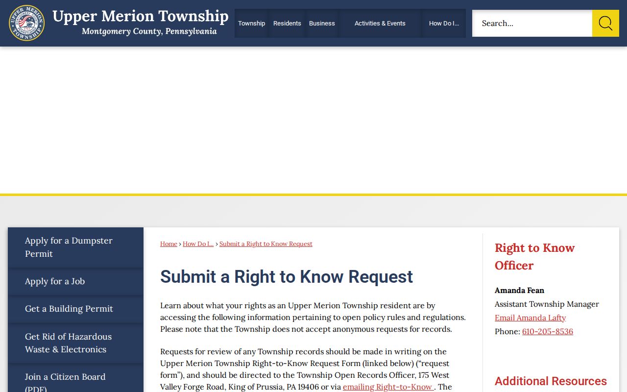
A precise request can connect a parcel to a dated public file without asking the Township to create a block roster or answer a new research question.
For historic occupants, follow one parcel’s dated title chain and then consult the Upper Merion city directories, historic maps, or census material. The 1915 directory and map layers use older locality and route terms, so a current street label may need to be reconciled before a historical name search is useful.
Limits on an Upper Merion Neighbor Lookup
Public sources stop well short of a complete account of who is connected with a block. Parcel records do not list every household member, utility customer, delivery recipient, or driver. Voter products are limited by the form, date, and statutory use rules. Pennsylvania’s Address Confidentiality Program can lawfully substitute an address for eligible participants, and motor-vehicle records are not an alternative public route. When a field needs correction, contact the actual custodian rather than a non-custodian profile or map service.
Lawful personal use. Use Upper Merion neighbor records for civic curiosity, reconnecting, property history, and verification through the custodian. Never use an address, map, or list to watch, harass, intimidate, stalk, or harm another person.
A postal question belongs with the Upper Merion ZIP code directory. A question about one named person requires the independent-record approach in the resident directory lookup. Keep those questions separate from the small, parcel-based block method used here.
Note: Preserve the source and access date for each block fact because map, assessment, voter, and project records update on different schedules.