
Walk Upper Merion Streets by Address
A useful Upper Merion Township street directory starts with a full address, not a person’s name. Montgomery County Property Records accepts a street number and street, and the Municipality choice can narrow results to UPPER MERION. A full street term returns addresses on that street, while a partial term can return containing addresses. Add direction, suffix, or unit when a road name repeats. The returned parcel card is the bridge from a street search to a land-record trail.
Record the parcel identifier, property location, last sale, deed book and page, and the names shown in the owner block. The card separates the physical location from a mailing line. That distinction is essential: a recorded owner or correspondence address is not proof that a particular person is currently at the address. A street-by-street record is strongest when it labels each finding by source and date instead of treating several different record types as one answer.
- Search the street number and name in Montgomery County Property Records, then choose UPPER MERION when needed.
- Open the parcel card and save its PARID or TaxMapID, last-sale book/page, legal-description clues, and recorded parties.
- Use the parcel identifier in the County GIS viewer to inspect the selected street segment, nearby parcels, and map layers.
- Use the sale placement to enter the Recorder’s name-indexed system, then follow the legal description through recorded transfers.
- For an older household question, compare dated maps and the 1915 local directory with the parcel trail rather than treating either as current evidence.
Upper Merion Address Search Fields
County Property Records is deliberately address- and parcel-first. Owner-name searching was removed on June 17, 2022, so the county trail cannot begin with a surname there. The public form’s street field is required. Its sort controls can order results by parcel ID, owner name, property address, sales date, sales amount, land-use code, or TaxMapID after an address result is produced. There is no ZIP search field.
| Property Records field | Use on a street search | Format or limit |
|---|---|---|
| Number | Targets a particular address | Optional, up to six characters |
| Direction | Separates directional versions of a road | Optional compass choice |
| Street | Finds a named road or a containing street term | Required, up to 20 characters |
| Suffix and Unit # | Refines the street result | Optional street type and unit fields |
| Municipality | Keeps the result in the township | Choose UPPER MERION when appropriate |
| Results per page | Expands a street-result view | 15, 20, 25, 30, or 50 |
Once a card is open, its Property Location is the situs address, meaning the physical location of the parcel. The owner area separately shows names and a Mailing Address. A mailing line may be another address, a post-office box, a business address, or another correspondence location. That is why a street-by-street result should be described as a parcel and recorded-owner trail, not a list of everyone at the location.
Map an Upper Merion Street Segment
The County GIS parcel viewer extends one Upper Merion parcel card to a visible street segment. Enter a known PARID, or identify the parcel on the map. The viewer supplies Identify, Map Contents, Legend, Selection Manager, distance and area tools, then lets the user move a selected set through View Current List. A tax-map display is useful for research context, but it is not a legal boundary description.
For a short street segment, select parcels by point, box, polygon, line, or freehand shape. The Buffer Select panel can build a selection around parcel center points or polygons in feet or meters. It uses a default distance of 100 until changed. After selection, open the current list and review each parcel card individually. This is a better method than assuming every nearby location is part of one household or one social group.
A captured address-mode Property Records screen shows the starting point for an Upper Merion Township address search.
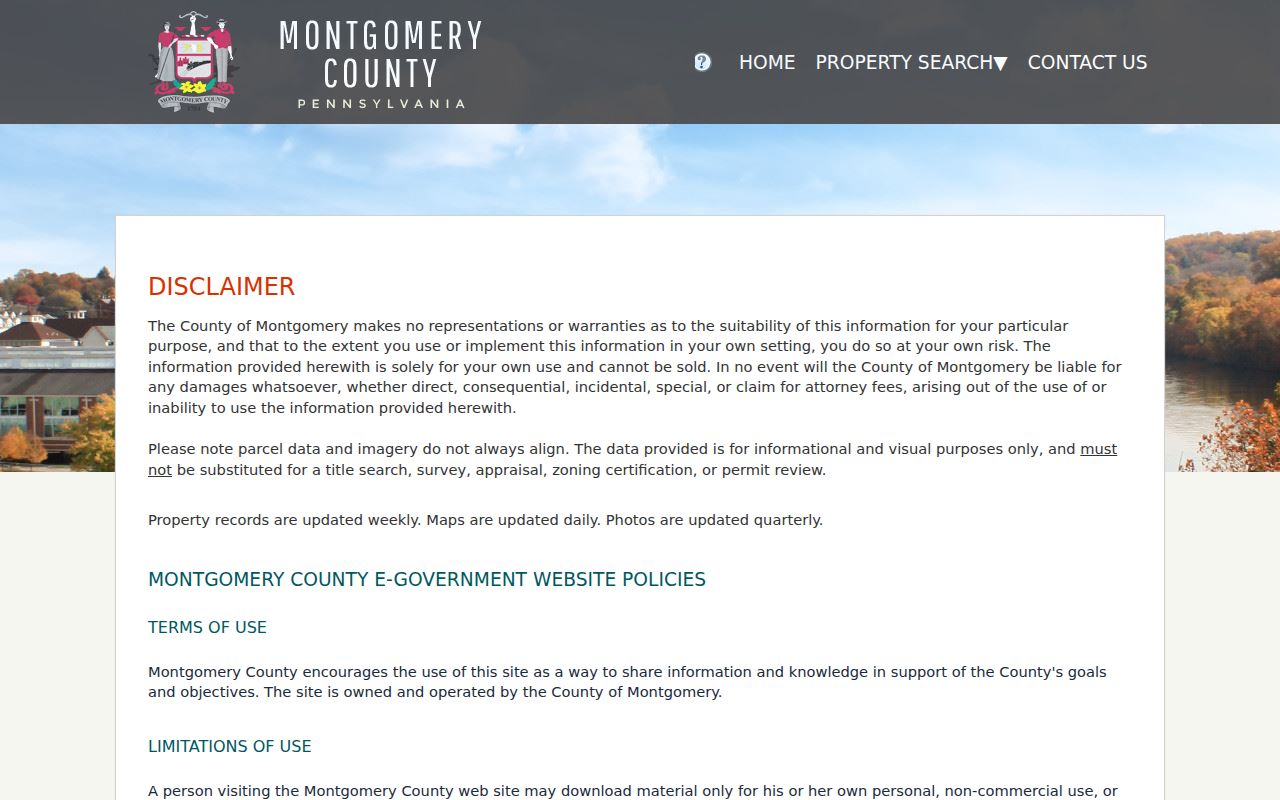
The form supports a careful address-to-parcel handoff before any land-record research begins.
Upper Merion Address Records by Street
Different Upper Merion Township address sources answer different questions. The assessment card identifies a parcel and a current recorded-owner entry. GIS shows parcel placement and selected map layers. The Recorder holds the recorded transfer chain. Township files can document a project at a known address. A formal voter Street List is a separate, restricted product. Keep the source boundaries intact when comparing records from the same road.
| Address record | What it can establish | Upper Merion access route |
|---|---|---|
| Property Records | Situs, parcel IDs, owner/mailing fields, assessment, last sale, deed placement | Free street or parcel search; no surname start |
| Recorder land record | Recorded parties, deed or plan placement, legal-description chain | Account-based remote search, counter, or mail |
| GIS tax map | Parcel location, selection, and map layers | Free viewer and open-data routes; not survey proof |
| Tax Claim parcel search | Parcel-specific tax-due or claim information | Address or parcel search; public return is not certified |
| Permit, use, or code file | Address, project, applicant, owner, and date evidence in the underlying file | Township desk or focused RTKL request |
| Voter Street List | Defined voter-record fields at a point in time | Formal request with identity and use affirmation |
For tax-due research, the Tax Claim Bureau parcel search accepts either an address or a parcel number. Its own warning says the online result is not a certified search. A tax-due item identifies an administrative parcel fact, not a current resident or final title determination.
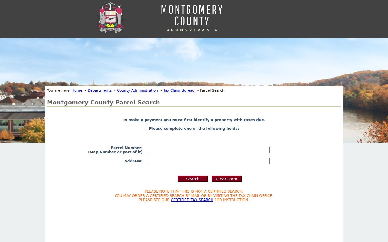
Use the page as a separate parcel check, then request a certified tax search by mail or in person if the record requires that level of confirmation.
Note: Preserve the source date with every street result because assessment, map, voter, and project records update on different schedules.
Upper Merion Street Files at the Township
Upper Merion Code Enforcement has no public historical permit-results database in the materials reviewed. That absence does not end an address question. The Code Enforcement Department is the direct counter route for an identified file, and the Township’s Right-to-Know process is the records route for older permit, inspection, property-maintenance, planning, or administrative documents. Ask for a specific record type and time range tied to the address or PARID.
The online RTKL form accepts a requested-record narrative, record type, format, time frame, and an optional Address for Property field. Township policy explains that a request seeks existing records, not an answer to a broad question. It may be filed online, by mail, fax, or in person. The Township gives an ordinary five-business-day response rule and may issue a written extension under its policy. It also states ordinary copy charges of 25 cents per letter-size page and 50 cents per legal-size page.
Permit and use records may help date construction, use, or a regulated project. They do not show every person connected with an address. The Upper Merion RTKL route is most effective when it names the property, document category, and date range.
Upper Merion Street Directory Deed Handoff
The free parcel card supplies the shortcut that a name-indexed deed system needs. Save the last-sale book/page before opening the Montgomery County Recorder Public Access System. The Recorder’s instructions say remote users create a free account and can search public records by name, address, or parcel ID. Its holdings date to 1784, while the current indexing notice is a changing operational status rather than a permanent coverage promise.
Recorder results and copies have more than one channel. A remote researcher needs the account, and certified copies are separately purchased. The Recorder counter has public search computers. A mail request needs the owner name, address with municipality, county parcel ID, book/page where known, and requester contact. Recorder staff can provide general information by phone but do not perform the underlying search. These options keep a street query moving when a remote screen does not provide the needed document.
- Parcel or PARID
- The county identifier for a property record. It links the street address to the assessment card and map tools.
- Situs address
- The physical Property Location displayed on the parcel card, distinct from an owner correspondence address.
- Legal description
- The deed or plan description of land, often using lot, subdivision, or parcel references that remain useful when street terms change.
- Criss-cross directory
- A directory organized from address to entry rather than from name to entry. No verified Upper Merion run was located, so confirm a title and year with the library.
Upper Merion Street Names That Shift
Street research needs a map check when an old result vanishes from a modern search. The Township street listing identifies Midway Lane as changed to Reeseville Drive, but no reliable effective year was located. Older sources may also write Gulph as Gulf, Abrams as Abrahams, and Swedes Ford as Swedesford. These are evidence-based search variants, not interchangeable current addresses.
The Upper Merion maps page offers official street, zoning, and flood-reference links. Its street-listing resource organizes roads by Township Zone, Street Name, Location, Subdivision or General Area, and arterial access. It also distinguishes Township, state, and private roads. That helps interpret a historical address, but road maintenance categories do not determine parcel ownership.
When one road name changes, carry the deed’s legal description and the PARID across the search. Those identifiers are more durable than an exact delivery label. The historical address layer can then be tested against an atlas or map rather than guessed from a name match.
Upper Merion Street Map Clues
For a historical Upper Merion Township street question, the 1915 local volume and dated maps are supporting evidence, not a modern roll. The King of Prussia Historical Society’s digitized directory uses rural-route and highway or map codes alongside locality names. Its entries can place a household in a particular source date, while its map and aerial archive can help reconcile a road or locality name with later records.
The local 1915 directory, later yearbook collection, census access through the Township Library, and archival map sources are described with more collection detail on the Upper Merion Township city directories page. For address work, use those dated sources after the parcel and deed trail has established the land identity.
Note: A historical directory entry can support a date-specific household clue, but it does not establish present occupancy or current contact information.
Upper Merion Street List Boundaries
Pennsylvania’s Check My Voter Registration tool is for an individual status check. It is not a browseable street-by-street registry. A lawful Street List comes through the state or Montgomery County request process. The state form describes fields such as name, residence address, mailing address, party, and active or inactive status for that product. A Walking List removes the mailing address.
The request requires identification, contact details, a signature, and an affirmation that restricts commercial or improper use and Internet publication. It can provide a time-stamped civic record, but it does not identify every person at an address, reveal ballot choices, or override protected-address rules. Use the official form and let its list type determine what may be requested and used.
Upper Merion Street Directory Limits
An address search may show a parcel, a recorded owner, a mailing line, or a dated project record. It cannot identify all occupants, utility customers, vehicle registrants, or delivery recipients. Motor-vehicle information is protected under Pennsylvania and federal law. A voter or property result may also be limited by the Pennsylvania Address Confidentiality Program, which permits qualifying participants to use a substitute mailing address in several official records.
When information is missing or conflicts, preserve the record date and ask the office that keeps the field. Assessment, Recorder, Voter Services, and Township files are separate systems with separate correction paths. For a person-focused question rather than a street sequence, use the narrower verification approach on the Upper Merion Township resident lookup page.
Lawful use. Use Upper Merion address records for personal, lawful research and property history. Threatening, stalking, harassing, or harming another person can violate Pennsylvania law.